Sustrans / Thames Estuary Partnership
Finding this exhaustive survey one evening whilst researching access to the river front initiated the idea for the setting up of this site – so impressed was I with the detailed survey that I thought it deserved sharing. The study was was commissioned by the Department for Communities and Local Government and was co-authored by Sustrans and the Thames Estuary Partnership (on whose website it can still be found, tucked away under 'past projects'). It provides information in minute detail about access to the riverfront (or the lack thereof) from the Royal Docks out to Shellness on Sheppey on the Kent-side, and to Shoeburyness in Essex, and makes suggestions how to improve the situation, with the view to establishing a fully functioning path in the future.
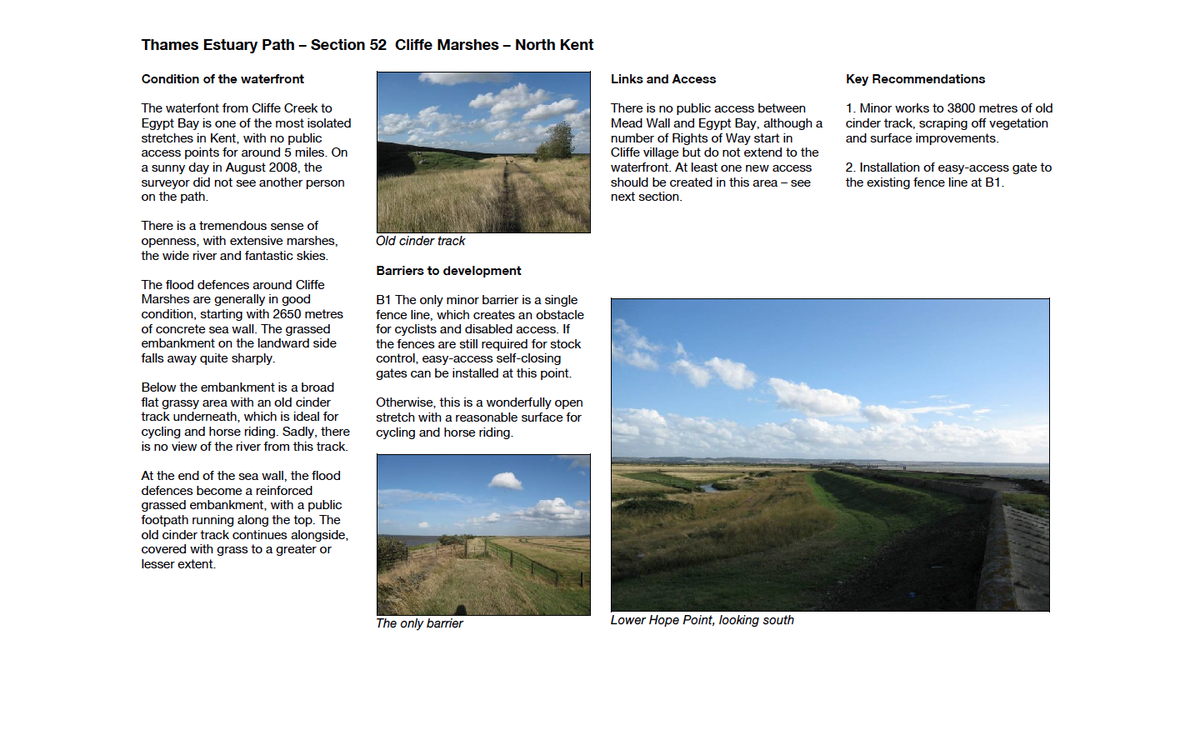
The text is generally purely descriptive, noting surface conditions, barriers and routes for access and transport links. Only rarely does the text deviate from its objective tone; one such instances is on the Hoo Peninsula: "There is a tremendous sense of openness, with extensive marshes, the wide river and fantastic skies." I headed out there the following day, and was not disappointed.
The survey contains 10 sections. The entire document, comprising all 10 sections, can be downloaded from the Thames Estuary Partnership, albeit in low-res and (very) poor quality (images).
The individual sections are in far better resolution: